
Canmore’s Historic Sites
Look beyond today's streetscape and discover the many layers of Canmore's past.
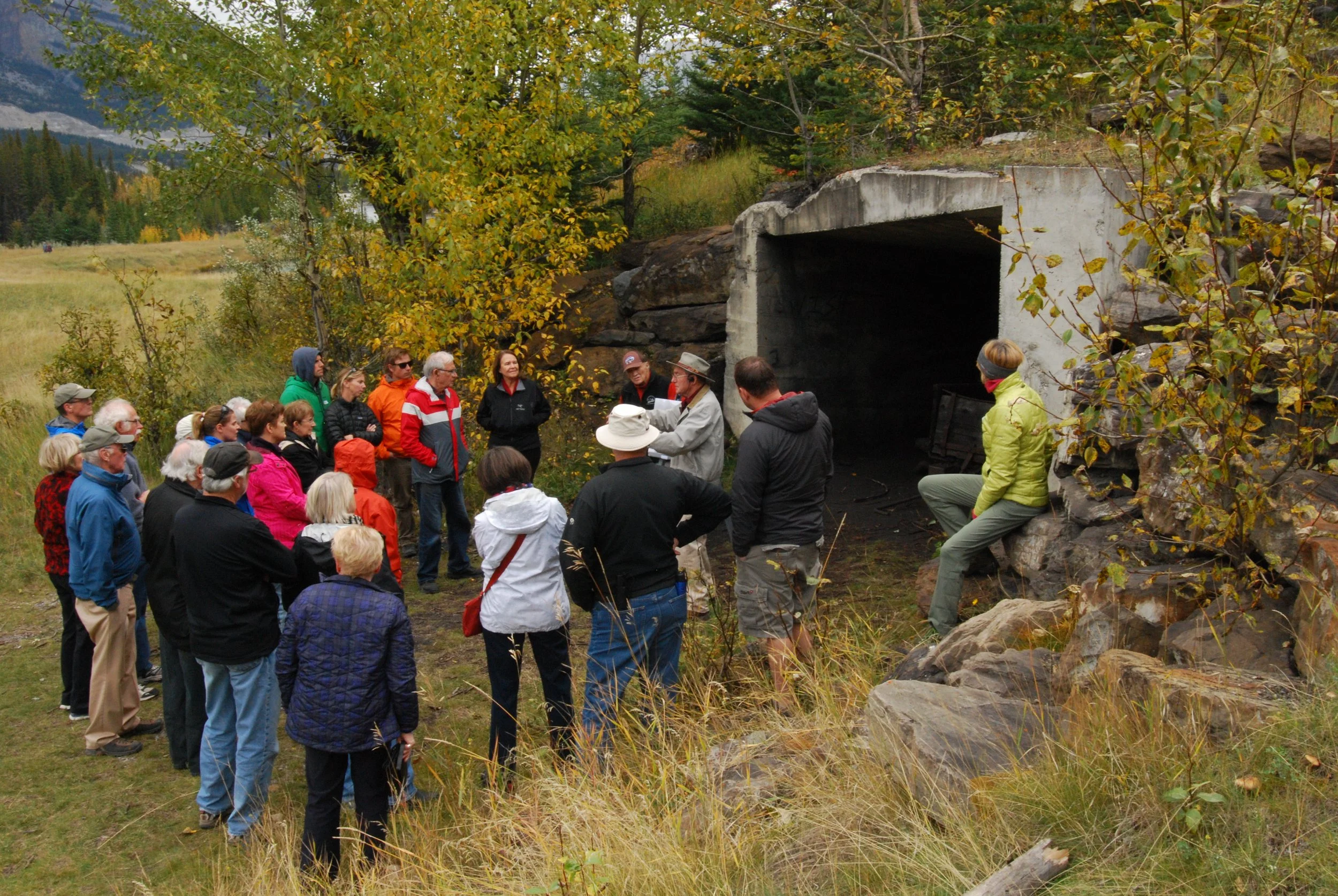
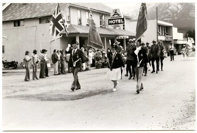
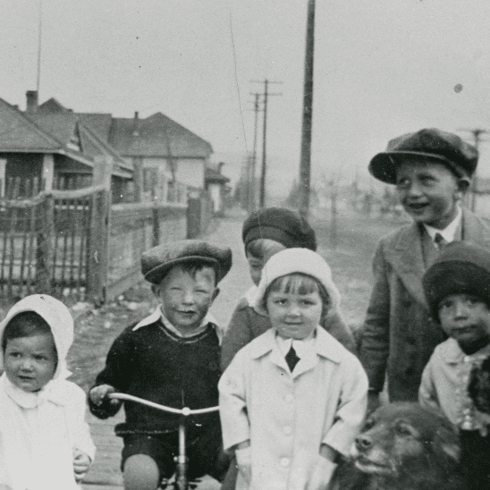
Canmore may look very different today, but traces of the people, industries and events that shaped this place can still be found throughout the community.
Long before Canmore became a railway and mining town, Indigenous Peoples had deep connections to the Bow Valley extending back more than 10,000 years. The area around Canmore has longstanding significance for many Indigenous nations, including the Stoney Nakoda, Blackfoot, Tsuut’ina, Ktunaxa, Secwépemc, Dene, Mountain Cree and Métis. Today, Canmore is located within Treaty 7 territory.

A Town Shaped by Railway and Coal
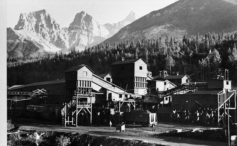
Canmore's settlement history changed dramatically in 1883, when the Canadian Pacific Railway established Siding 27 here as a railway division point with repair and crew-change facilities.
Nearby anthracite coal soon became central to Canmore's economy, fueling CPR locomotives and helping transform the small settlement into a mining community. Although the mines, railway operations and town itself have changed enormously, reminders of this earlier Canmore remain embedded throughout the community.
Explore Historic Canmore
This interactive map helps uncover the buildings, places and landscapes that connect today's Canmore with the communities that came before it.
Use the map to explore historic sites throughout town and discover pieces of Canmore's story that can be easy to miss when walking its streets today.
History is all around us.
Some historic places are obvious. Others have been adapted, surrounded by new development or absorbed into the modern town. Together, they help reveal how Canmore has evolved—and what remains.
The map is not a complete inventory of Canmore's historic places. The Museum welcomes community knowledge and suggestions for sites that should be included.